


|
|
|
|
|
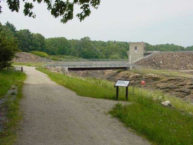
Westville Lake Community Trail
Westville Lake Length: 1.8 mi (3 km) Loop
County: Worcester Nearest Town(s): Sturbridge Southbridge |
|
||||
| Trail loops around the 23 acre Westville Lake Flood Damage reduction project. 2/3rds of trail is on abandoned Rail Road bed and project service roads, the remaining third is a cross country terrain trail. | |||||
|
Destination:
Park to Dam and back
Fees: none
|
Destination Type:
Lake
Season: Spring - Summer- Fall -Winter |
||||
|
|
||||
Maximum Grades are: 24% for 20 ft (6 m) at 6701 (2042 m) 24% for 16 ft (5 m) at 6923 (2110 m) 23% for 48 ft (15 m) at 6458 (1968 m) |
Minimum Clearance Widths are: 12 in (30 cm) for 21 ft (6 m) at 2490 ft (759 m) |
||||
Maximum Cross Slopes are: 11% for 10 ft (3 m) at 14 (4 m) 9% for 25 ft (8 m) at 6458 (1968 m) 8% for 16 ft (5 m) at 4478 (1365 m) |
Surfaces are: 64% of trail is Crushed Stone (Fines) 17% of trail is Aggregate/Gravel 17% of trail is Asphalt |
||||
|
|
||||
|
Westville Lake Community Trail Westville Lake Wallace Rd Sturbridge, MA 01566 Phone: (508) 347-3705 FAX: (508) 347-8732 Email: keith.w.beecher@usace.army.mil Website: http://www.nae.usace.army.mil/recreati/wvl/wvlhome.htm |
Cumulative Elevation Gain: 165 ft (50 m) Cumulative Elevation Loss: 165 ft (50 m) Level of Usage: Medium |
||||
|
NOTES: An 8% grade is a standard ramp. Level surfaces can have up to a 2% cross slope. Obstructions were measured within a 120 in (3 m) wide by 120 in (3 m) high trail tread area. Obstructions less than 0.5 in (2.5 cm) in height were not measured. Minimum clearance width boundaries were at least 0.5 in (2.5 cm) in height. WARNING: Trail conditions may have changed since this trail was assessed. Temporary obstructions (e.g. landslides) may not have been mapped. Maximum grades and cross slopes may vary. Use the "Back" button on your browser to return to the search results list. |
|||||
|
|
|
||||
 home
|
about us
|
definitions
|
trail access information
home
|
about us
|
definitions
|
trail access information
links | acknowledgments | disclaimer © Copyright 2001 Beneficial Designs |
|||||


